Hiking my own hike
Superior Hiking Trail trip data and descriptions

The Superior Hiking Trail (SHT) is 300 miles long (in 2023). Some people only hike 250 miles by starting at the Martin Road Trailhead north of Duluth. By starting at Martin Road people do three things to themselves; first they miss some of the prettiest hiking, second, they start with the worst section of hiking (more on that later) and third they are quite frankly not completing the full 2023 thru hike.
I completed the SHT NOBO (north bound) in 17 days, terminus to terminus, this post documents information that other thru hikers and section hikers might find useful to plan their own hike. I also include my narrative overview of each section for background, including campsites, viewpoints and other factoids that interested or amused me.
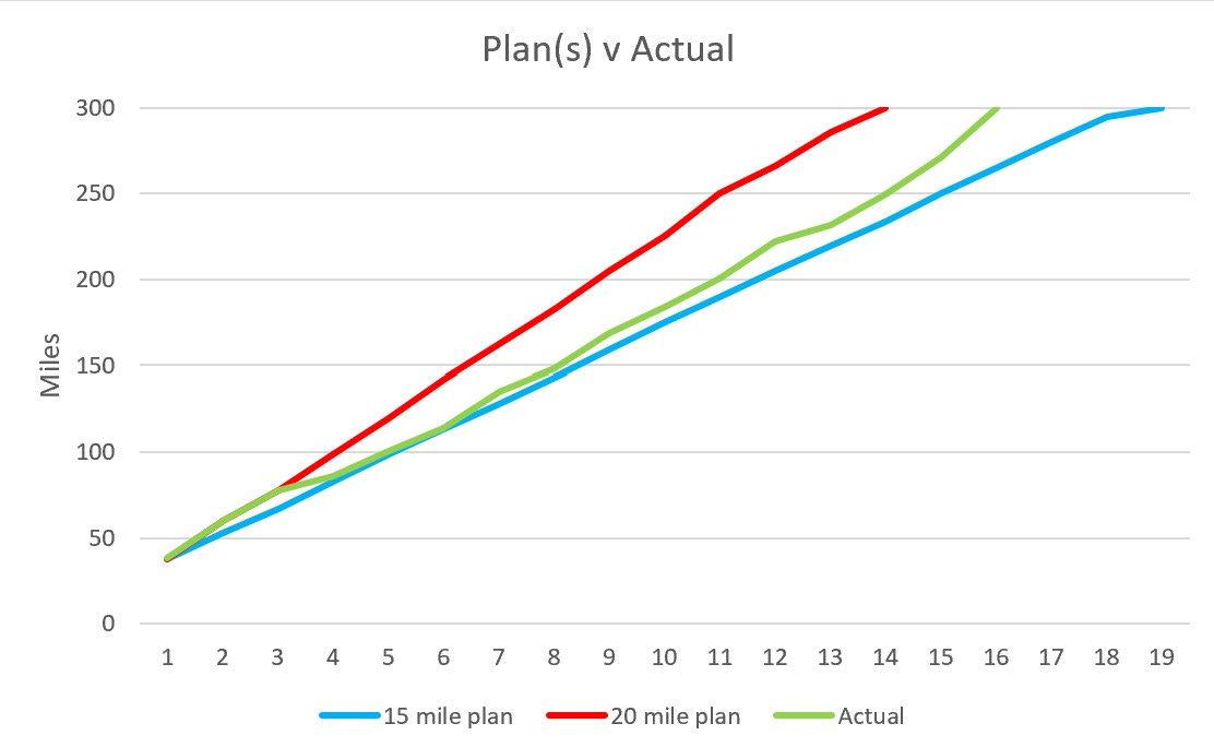
I developed two plans, one for roughly 15-mile days (the blue line above) and the second for 20-mile days (the red line above). It was a challenge to plan based upon distance as hiking the SHT ties you to camping at the available sites, dispersed (wild) camping is not allowed along the majority of the trail. Initially I tracked to the 20-mile plan but after my short day and trip to the ER in Two Harbors I reset my expectation and slowed for a while. I finished with an average pace of 17.6 miles per day. Knowing what I do now, I could have comfortably finished at the 20-mile pace and may do that someday.
Days 1 - 3, the southern section and Duluth.
Trail miles: 0 - 60.
End of day locations: 123rd Ave Trail head, I35 foot bridge, Lone Tree Campsite.
Logisitics: Day 1, we left our car at 123rd Ave, and got a shuttle to Southern Terminus parking lot (Northshore Shuttles). I hiked with my wife back to the car, we stayed in local hotel (Pier B) for night. Pier B is a great location to stay, the trail walks passed it and the hot tub, sauna and cold (lake) water dip feel great after a couple of long day’s hiking. Day 2, my wife dropped me off at 123rd Ave, she walked the first couple of miles then I continued on solo and walked back to hotel, she drove home. Day 3, I hiked thru the city to Lone Tree Campsite where I was the only hiker.
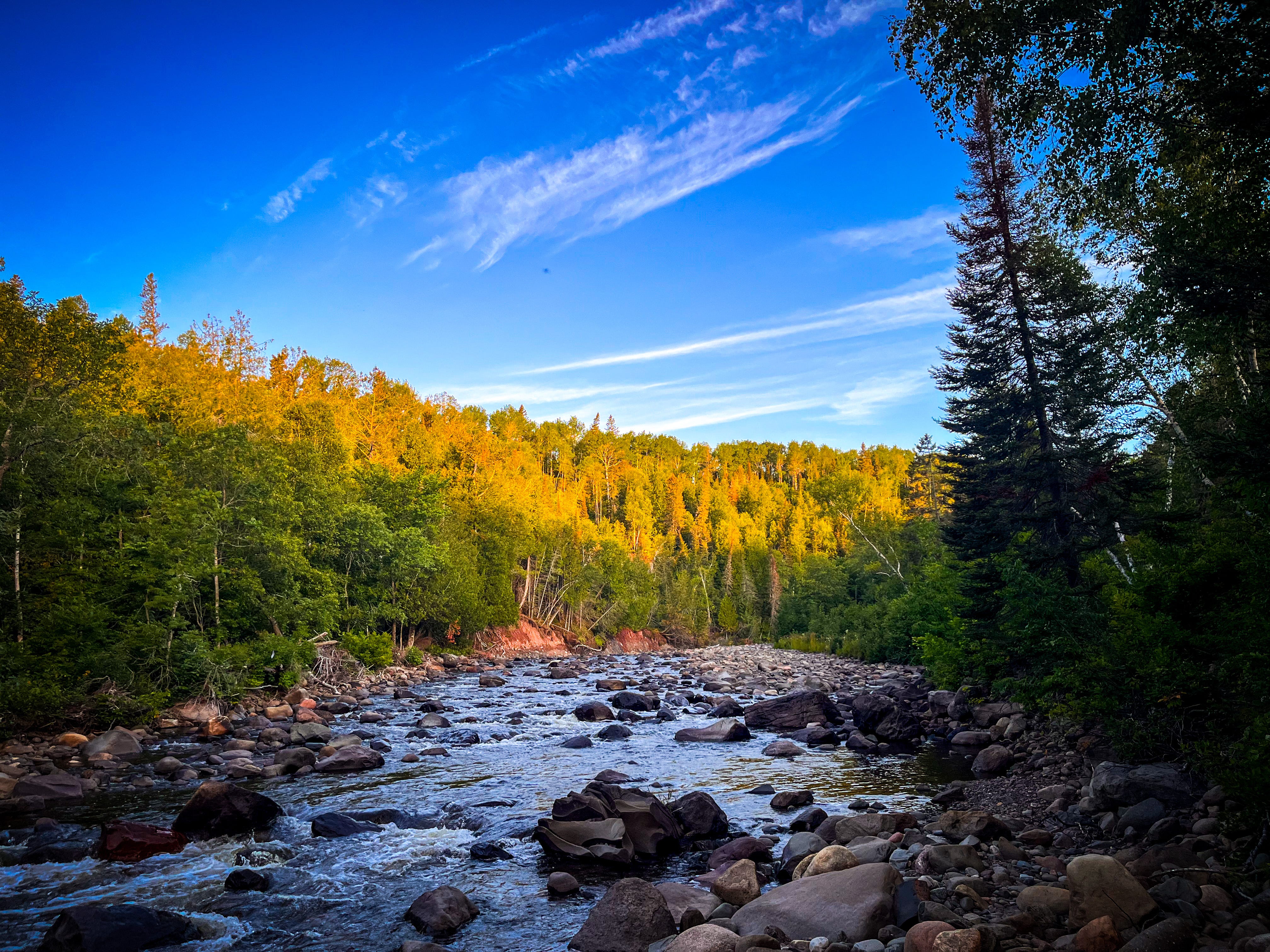
Points of interest: Jay Cooke State Park (SP) is beautiful and easy terrain. The St Louis River section is gorgeous. Ely’s Peak is spectacular and shows you what lies ahead. Magney/Snively Park is lovely forest walking. Spirit Mountain has a cafe and the ability to recharge electronics. There were a lot of trail runners and mountain bikers in this section. The trail jumps from green section to green section with very little road walking. You will see Enger Tower in the distance, and once you reach it, you descend down to the Canal Park area rapidly. The “tent city” homeless encampment is just before the I35 footbridge. The walk out of the city takes you along the lake, inland up the hill towards the University and then you dive back into green parkland. Just before you dive into the woods you will pass Burrito Union, an excellent place to eat if you get a chance. Bagley Nature Area and Hartley Park are especially pretty and have several great overlooks that introduce you to the expanse of Lake Superior. The Vermillion Road section is just road walking, you pass a very large Cemetry, not a great section. Then you get to Martin Road Trailhead, and things go downhill (and I mean metaphorically) the trail follows a lot of the North Shore State Trail which is a snow mobile route, very overgrown, boggy in places, with little shade from the sun and no real views to speak of. It is a nice relief when you dive into the woodlands again near Lone Tree Campsite.
Days 4 - 6, thru Two Harbors.
Trail miles: 60 - 100.
End of day locations: Big Bend Campsite, LCDF Trailhead, Silver Creek Camp Site.
Logisitics: Day 4, I hiked to Big Bend Campsite, three other hikers were there also. Day 5 I hiked to LCDF trailhead and was picked up by Trail Angel (Tim) and went to ER to be treated for dehydration and a bladder infection. I spent the night in Two Harbors, cleaned clothes and recharged electronics. I returned to trail at LCDF trailhead on day 6 and hiked to Silver Creek with Tim, we hitched a ride for two thirds of the diversion at Gun Club Road.
Points of interest: This section begins to show you how pretty the North Shore is. There are many beautiful forest sections interspersed with lakes and ponds. The Gun club road diversion is awful. A better way to navigate this section with hindsight would be to go south on Hwy 2 and then turn left onto what becomes Gun Club Road. Otherwise, you take a jog north up a highway just to walk south again and turn onto 3 miles of awful dirt road walking. Gun Club Road has no shade, is very dusty, has quite a lot of traffic, and we walked it in 95°F temperature, I do not recommend this. However, Silver Creek Campsite, which currently requires you to backtrack 1.3 miles SOBO to reach it from the 301 Trailhead, is an absolute gem. It is situated right next to a lovely, highly accessible, river and the best campsite in the first 6 days in my opinion.
Days 7 - 10, Gooseberry thru Tettegouche.
Trail miles: 100 - 170.
End of day locations: Gooseberry River Campsite, Beaver River West Campsite, Baptism River Campsite (Tettegouche SP), North Lake Egge Camp Site.
Logistics: On day 7 Tim was picked up at Castle Danger Trail head and I carried on solo, I hiked to Gooseberry River State Park and took the spur trail to Gooseberry River Camp site, there was one other camper. Day 8 I hiked to Beaver River W Campsite, which was beautiful, very busy, and noisy due to the proximity to the train tracks. Day 9 was resupply day in Silver Bay, I had shipped food ahead to a trail angel (Donna), I also walked into town to visit the Timber Coffee Company (great breakfast, and electricity for recharging). I was able to reserve a spot (the only open one) at the Tettegouche State Park Baptism River Campground near High Falls, so that evening I showered, washed clothes, recharged batteries. Day 10 I hiked to North Lake Egge campsite where I was alone, South Lake Egge was busy, so I skipped that one.
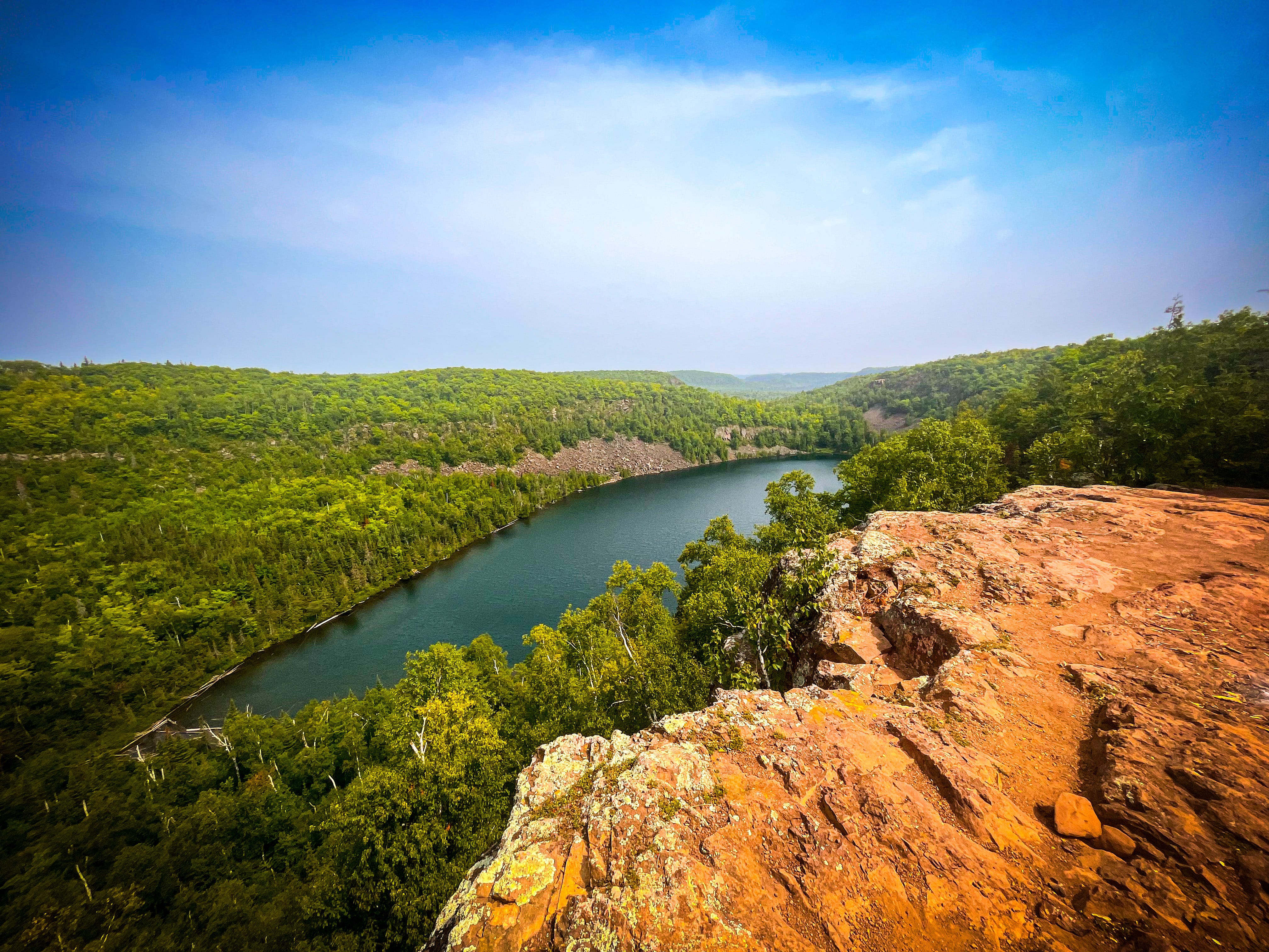
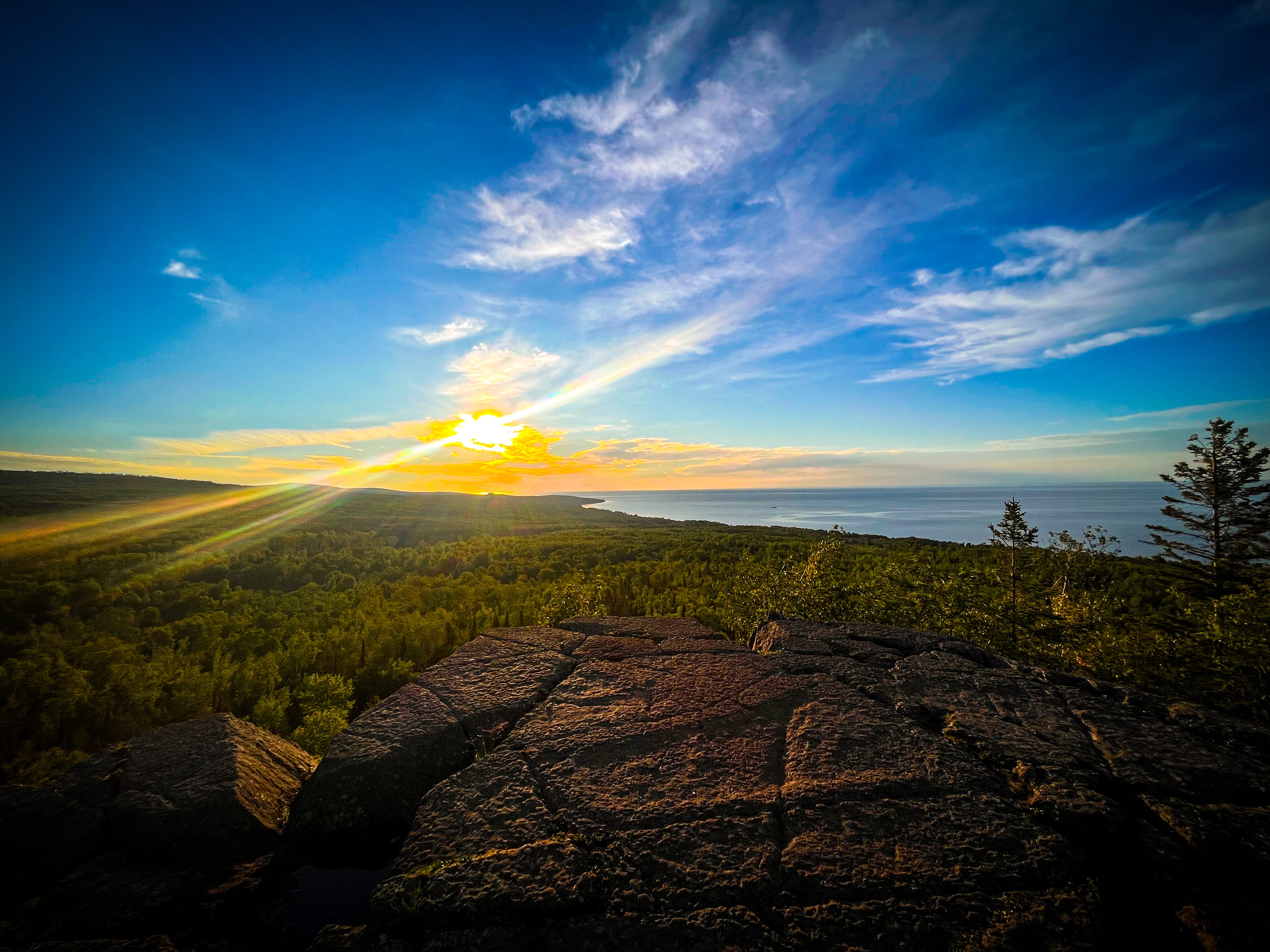
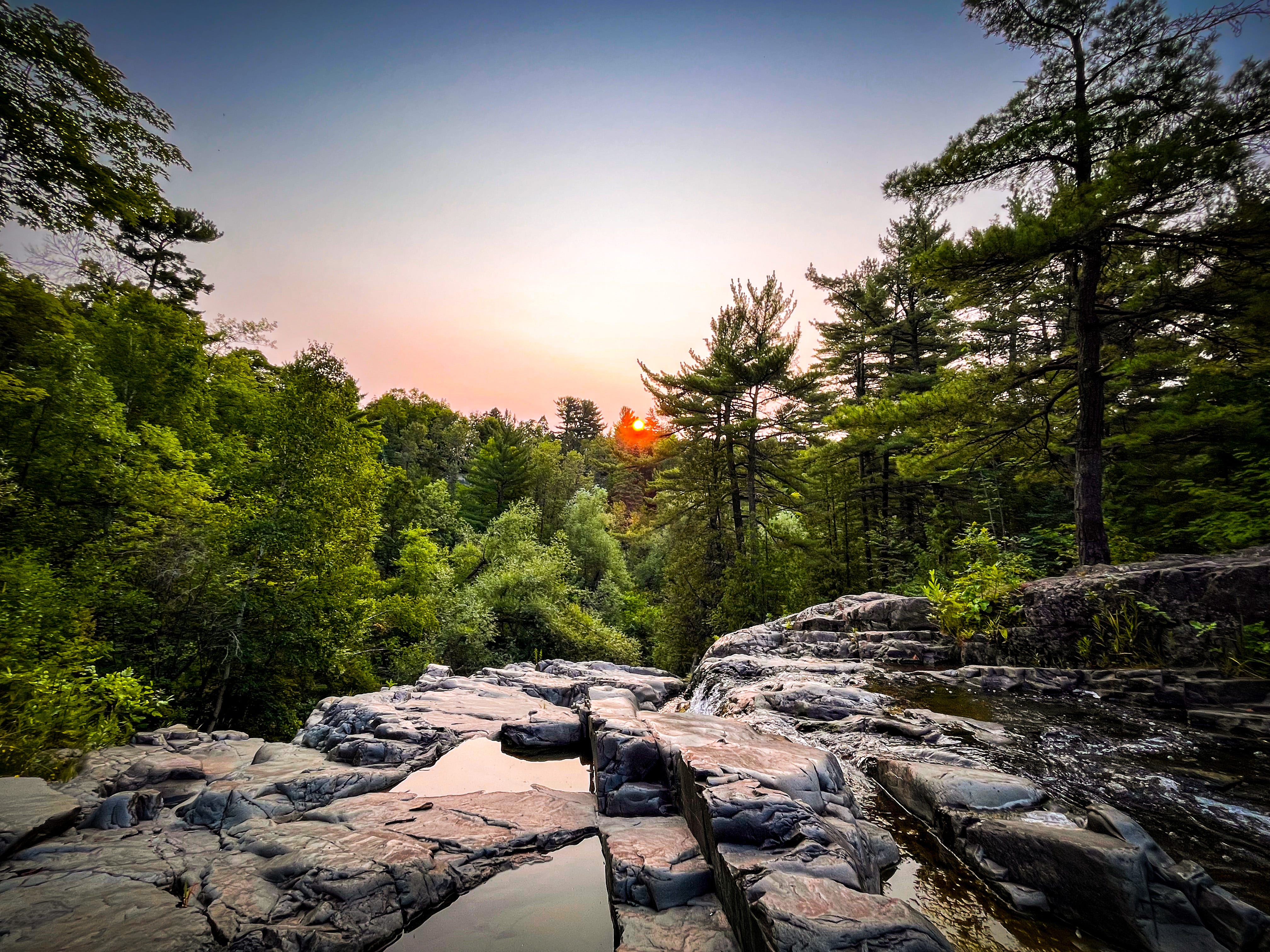
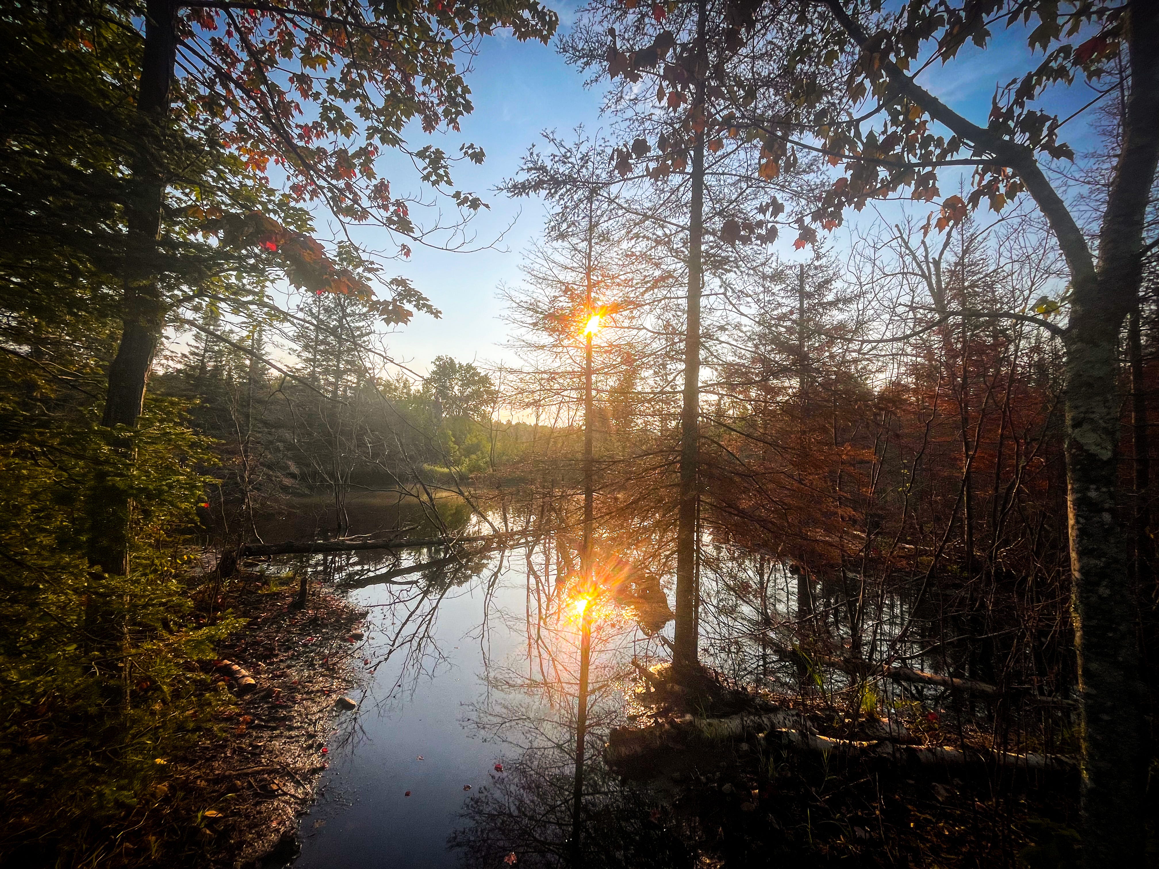
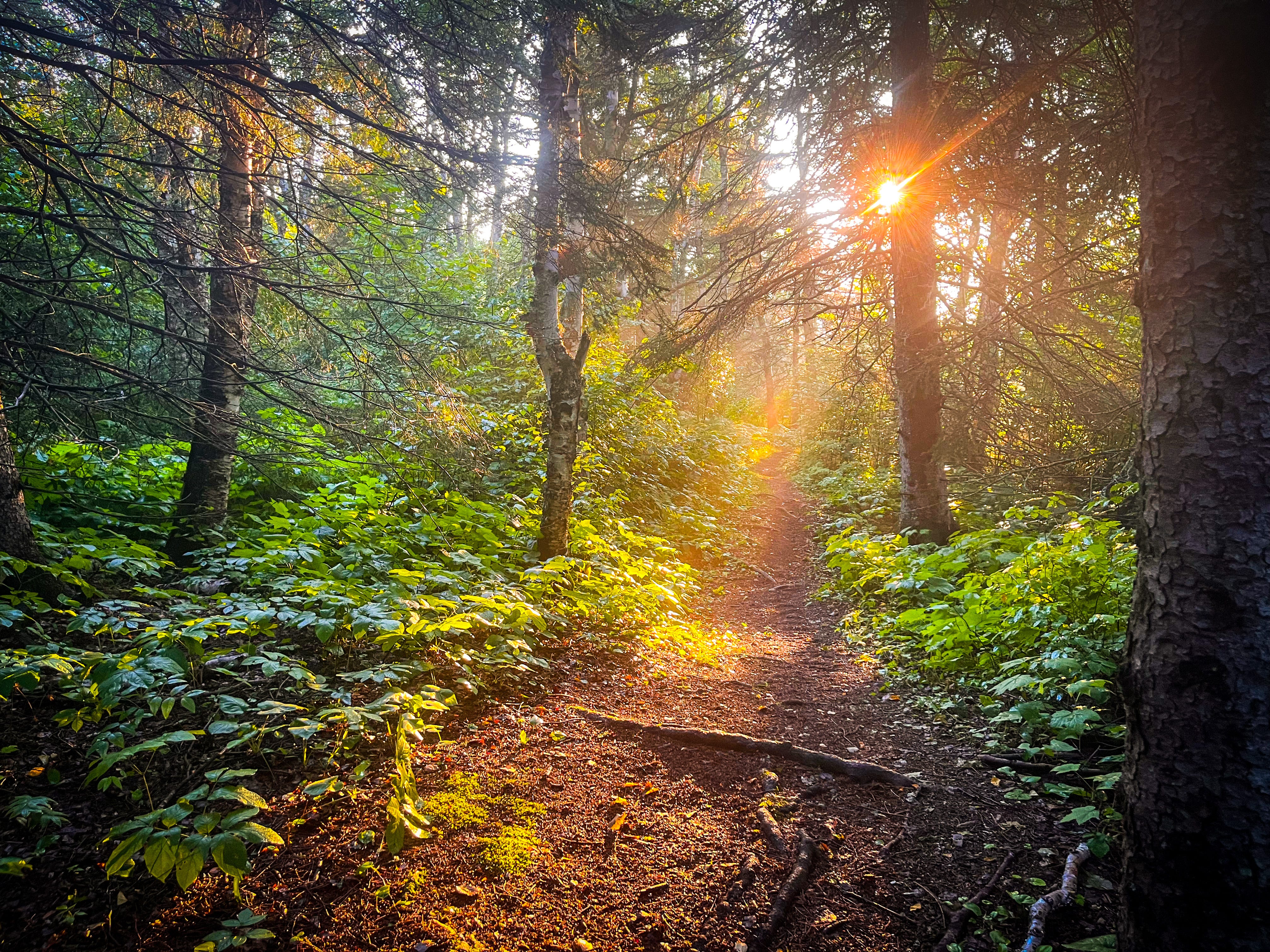
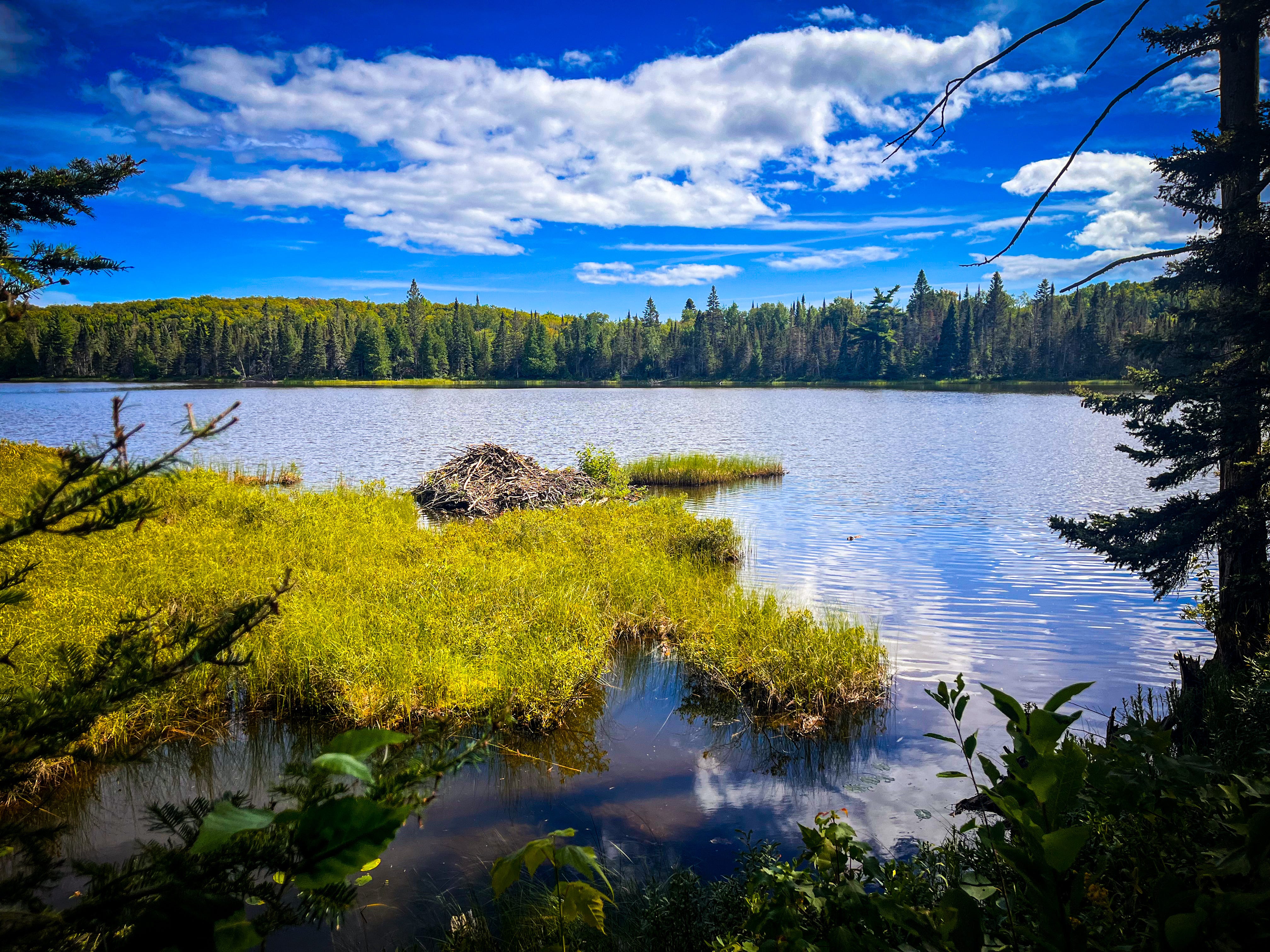
Points of interest: Gooseberry River is the first major river you come to since the cities, it was a relief to see “big” water and to have left the dried-up creeks behind me. If I hike this section again, I will stay at one of the earlier Gooseberry campsites. The campsite I choose was the least interesting of them all, with no river view. Split Rock River was gorgeous, and very easy to ford at the old bridge site. The Beaver River campsites are spectacular, and unfortunately everyone knows it. As a result, I would avoid it next time, maybe just stopping for lunch or a break to enjoy the beautiful river. It’s too easy for car campers to fill these sites, even though they are only meant for backpackers. The trail from Silver Bay onwards is some of the most beautiful of the whole SHT, the ever-popular Bean and Bear lakes, followed by the beautiful Baptism River and falls. From Tettegouche you are treated to the gorgeous private lands of Wolf Ridge and Wolf Lake, then the stunning Section 13 overlook which offer wonderful views inland, possibly the best inland overlook, easily on par with Oberg Mountain. Descending from Section 13 you cross a lovely marsh where I saw a moose grazing.
Days 11 - 14, Temperance thru Cascade.
Trail miles: 170 - 230.
End of day locations: Caribou River West Campsite, Temperance River Campsite (Temperance River SP), East Lake Agnes Camp Site, Cascade River SP Trailhead.
Logistics: Day 11 I hiked to Caribou River West, an electrical storm hit that afternoon and evening, flooding campsites. Day 12 I was able to reserve the last open site at Temperance River State Park (upper section, cart-in site), great showers, electricity, and a soda/pop machine, I was able to dry out! Day 13 I hiked to East Lake Agnes Camp Site (had it to myself). Torrential rain through the night and next morning. Day 14 was a short day as I hiked to Cascade River State Park and then waited at the Cascade Cafe for my wife.
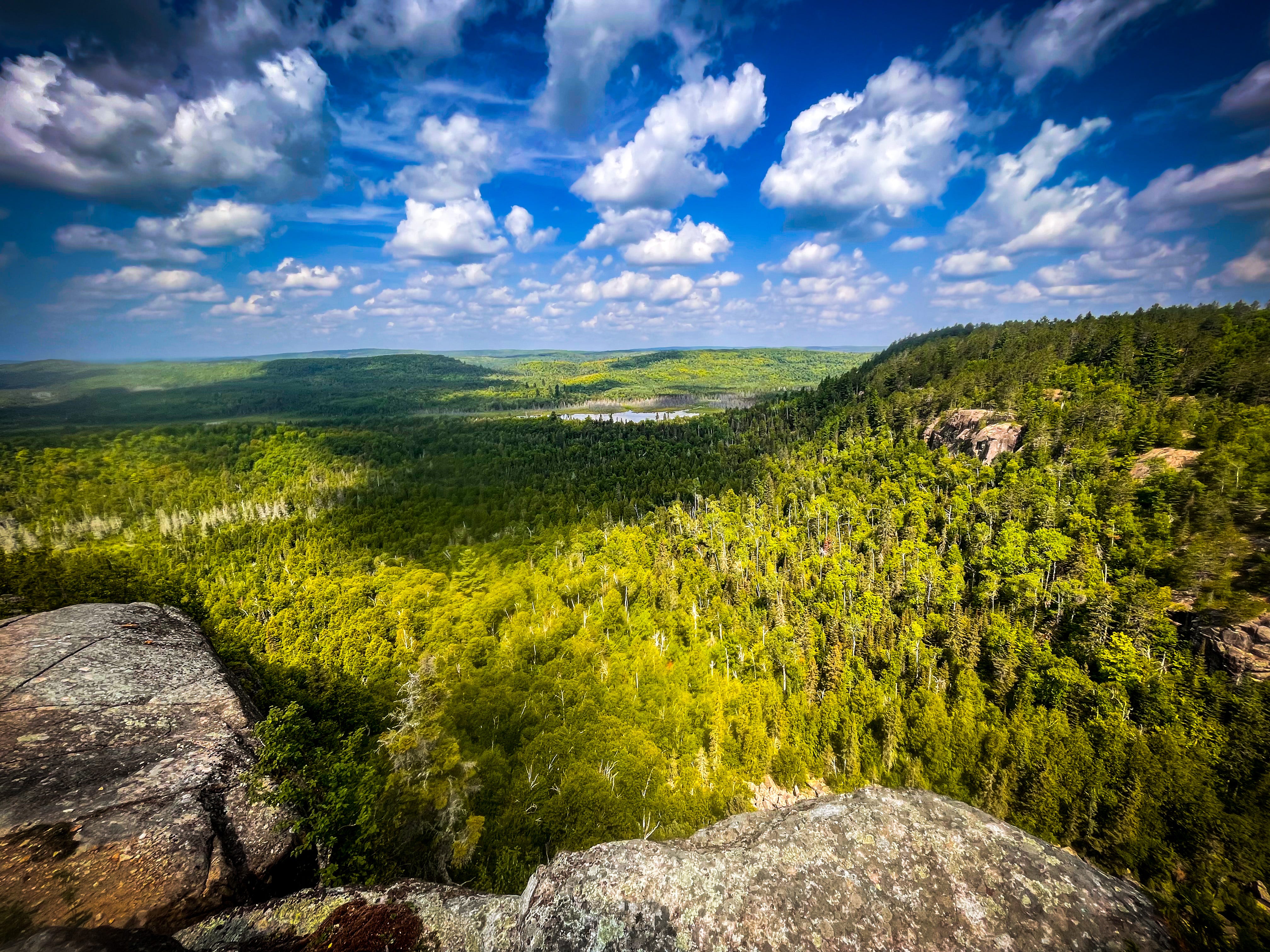
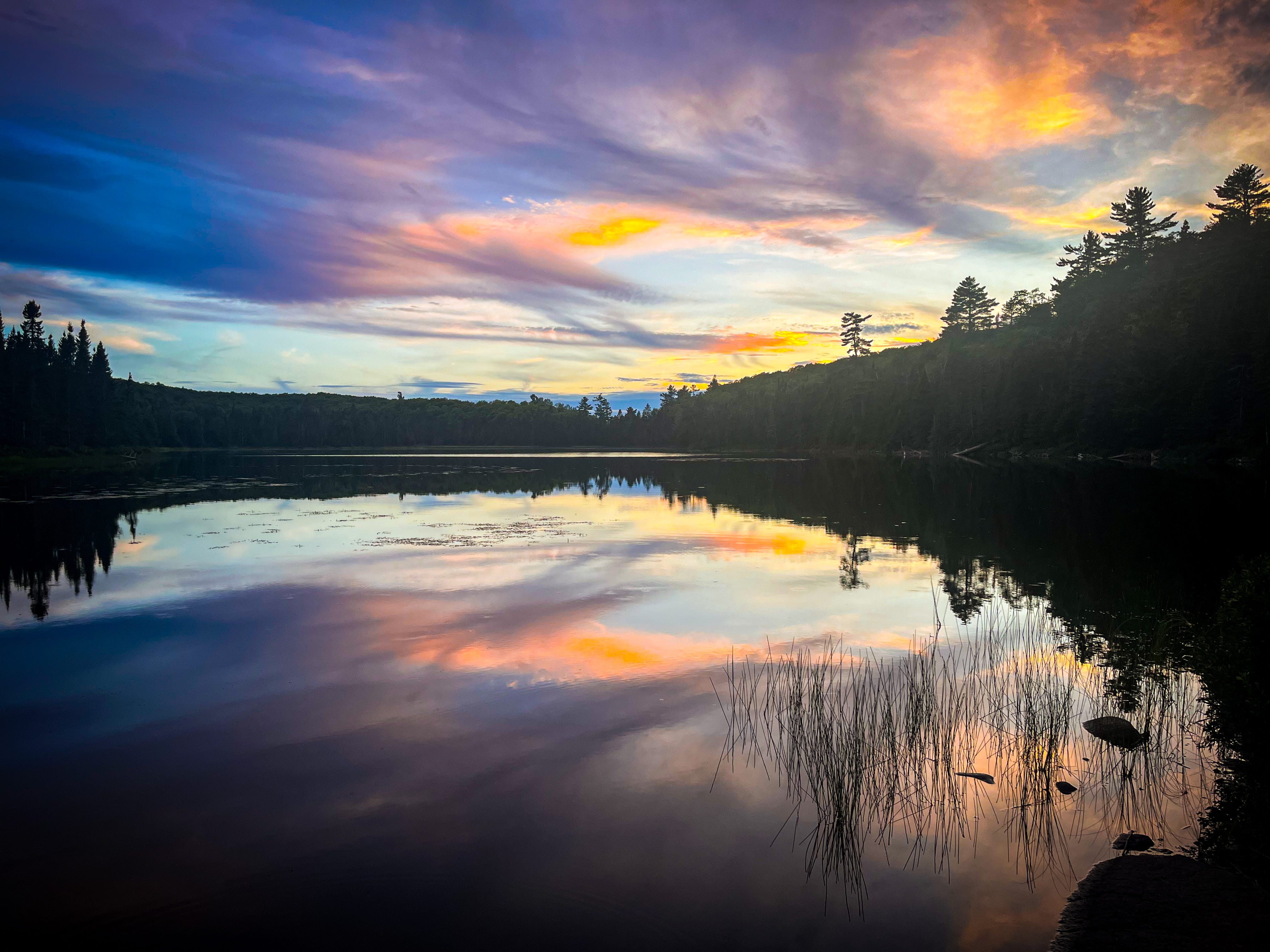
Points of interest: Crossing Crosby Manitou State Park involves a steep descent followed by an equally steep ascent. This tested the strength of my quads and required several rest stops. However, the river valley is beautiful, and I hung out by the river for lunch. I really liked this park. It was very busy with a lot of car campers. Caribou falls is a short spur trail from the main SHT and very worthwhile. When I was there an electrical storm went through, dumping a couple of inches of rain locally, this swelled the river and made the falls spectacular. Walking NOBO meant I arrived at Temperance on the west side of the river, a beautiful view I had not previously experienced. Upriver from the popular tourist area there are some lovely smaller falls and a few swimming pools that the locals frequent. The State Park has great shower facilities that clearly were built quite recently. Leaving Temperance, you quickly get to Carlton Peak and Ted Tofte overlook. I prefer Ted Tofte as it is quieter, and you get a full 360° view of the North Shore. The next feature of note is Leveaux Mountain then Oberg. Leveaux is underrated, in my opinion, having a couple of stunning overlooks and a lot less foot traffic. Oberg is great, but very busy. The route to Lusten is lovely, through mixed growth forest land. I took the gondola up the mountain to the Challet where I had a much-needed super high calorie lunch! You can also take a spur trail to the top if you prefer. The trail north of Lutsen was quite challenging at times with a lot of blown down trees blocking the way. Lake Agnes is stunning and perhaps my favorite lake on the trail. The campsites have a reputation for being very busy but due to the inclement weather I was alone for my stay at East Agnes (my favorite stop of the trip).
Days 15 - 17, Grand Marais and the northern stretch.
Trail miles: 230 - 300.
End of day locations: Pin Cushion Mountain trail head, Judge CR Magney SP Trailhead, 270º overlook/Northern Terminus.
Logistics: On Day 15 we were dropped by a Trail Angel (Bryan) back at Cascade River SP, and I hiked with my wife to Pincushion Trailhead where we left our car. Bryan also held, and delivered, my second resupply box of food for me. On day 16, my wife dropped me back at Pincushion Trailhead, we walked to Pincushion Overlook together, I then carried on solo to Judge C.R. Magney State Park. My friend Tim started at the State Park later in the day and hiked back to meet me at the Lake Walk Section, we then walked the final five miles to the State Park Trailhead together. Day 17 I was dropped at Judge CR Magney State Park, and walked to Devils Kettle with my wife. I then carried on solo to the Northern Terminus, where my wife picked me up at the end of the day.
Points of interest: Cascade River State Park is beautiful and very busy. The hike along the river is rarely travelled except by thru hikers, so it was peaceful and a delight. However, there was a bridge out which resulted in a diabolical muddy descent and ascent to cross a small stream. The section from the County Road 45 Trailhead ascends through gorgeous forest lands, then unfortunately through a long, shared, section of North Shore State Trail, overgrown, buggy and with no respite from the sun. The descent to the Gunflint Trail is steep but not treacherous. And the final mile through the woods to the Trailhead is lovely. The Pincushion overlook is a must-do spur trail with stunning views of the remainder of the trail, it really gives you the impression of walking to Canada! The next section, the Rollercoaster, consists of the rise and fall of several river valleys. Each climb was short and by now my trail legs had kicked in and I didn’t really notice the hills. The Lake Walk was a lovely change from the forest trails, and I was treated to sunshine and a cooling breeze along the shore. Judge CR Magney State Park has seen a lot of storm damage and the trail northbound has a lot of social diversions around downed trees and needs some serious repair work. The next section is either road walking or forest walking, the roads were quiet and the forests gorgeous. You start to slowly ascend, climbing many smaller hills before arriving at the high point of the trail. The views are fleeting but gorgeous. The final section of the trail is shared snow mobile tracks and overgrown, its only redeeming feature being it goes by quickly. The final climb to the 270° overlook is a series of gentle switch backs until you arrive at the final vista and terminus of the trail.